
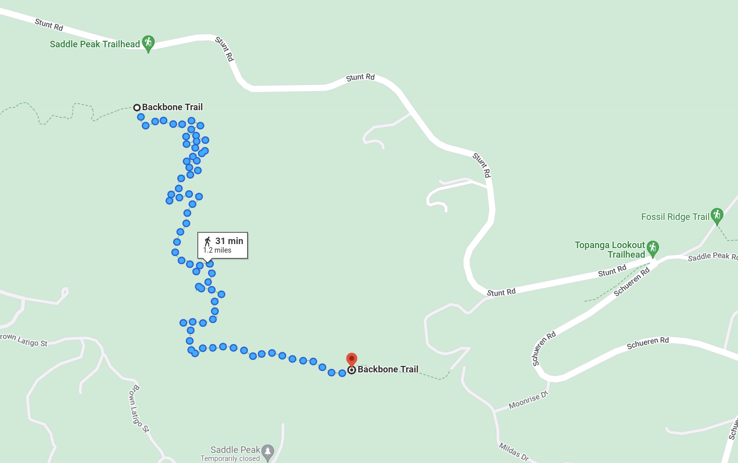
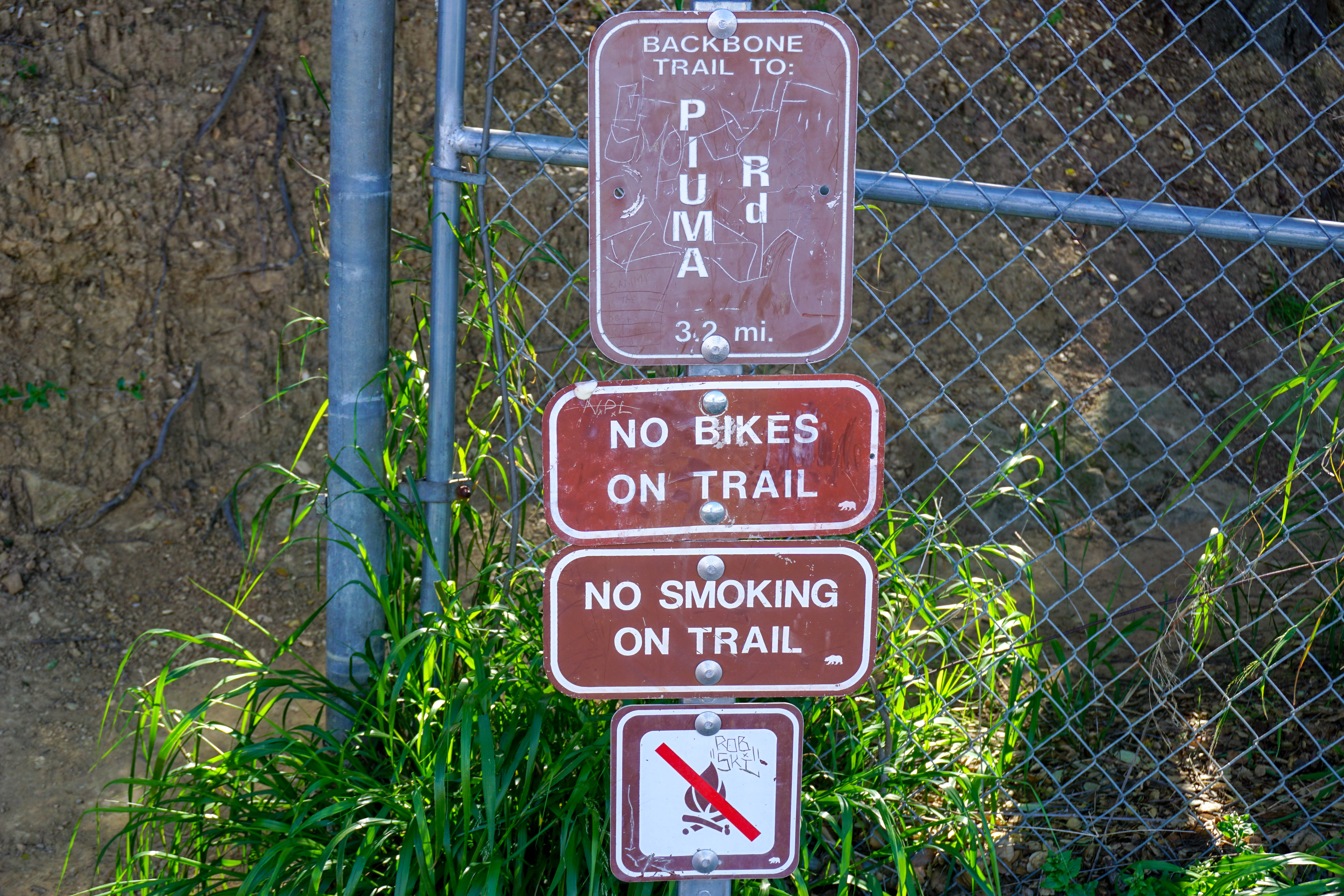
Saddle peak stands at 2,805 ft and is one of the highest peaks in the santa monica mountains. The hike starts off stunt road about 3 or 4 miles passed the mullholland hwy intersection. The trail starts at the piuma road sign. You can park on either side of stunt road.
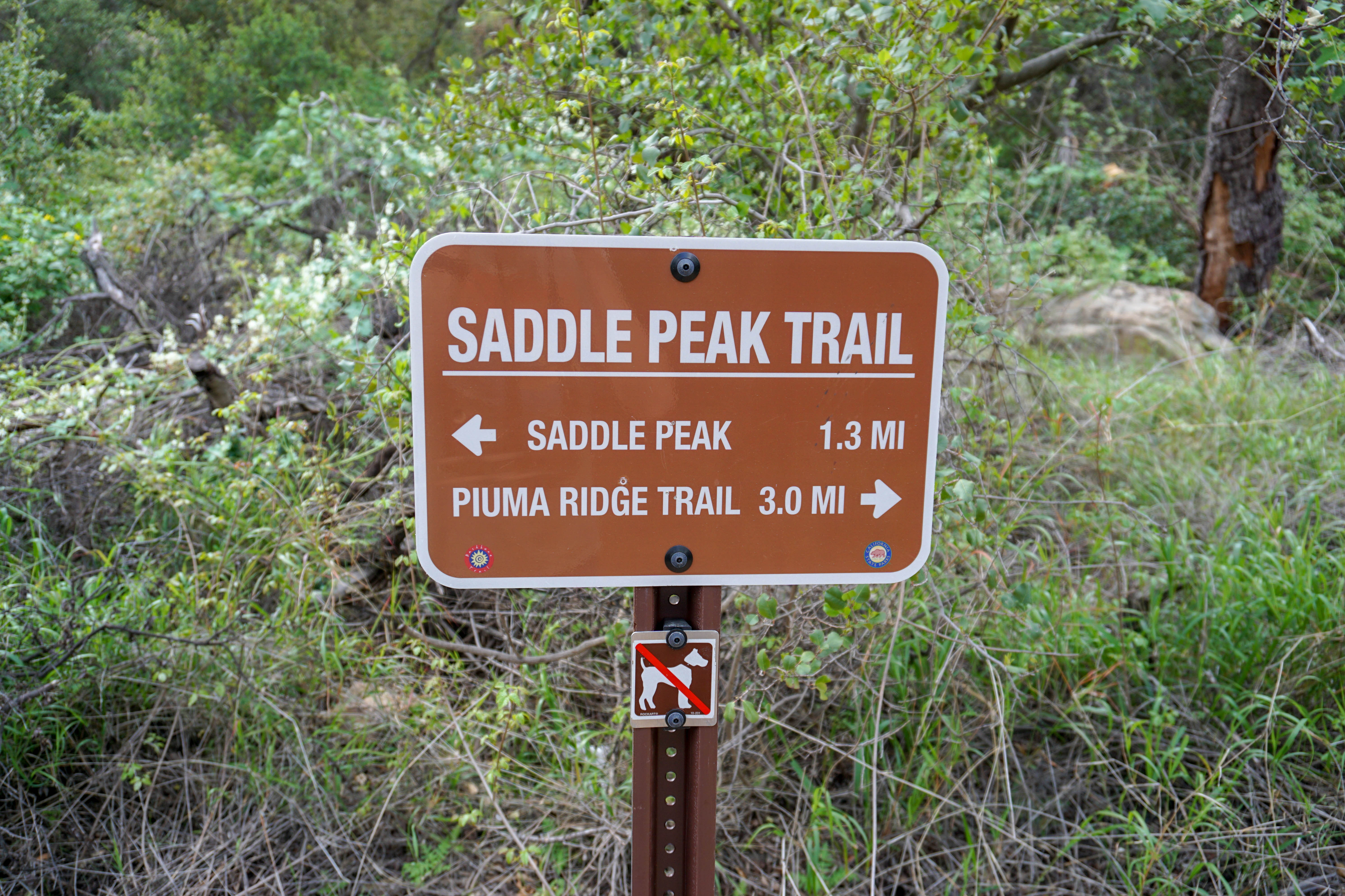
After about 10 minutes you will reach a fork, take the trail left to saddle peak.
Looking to your left you can see calabasas peak across the way.
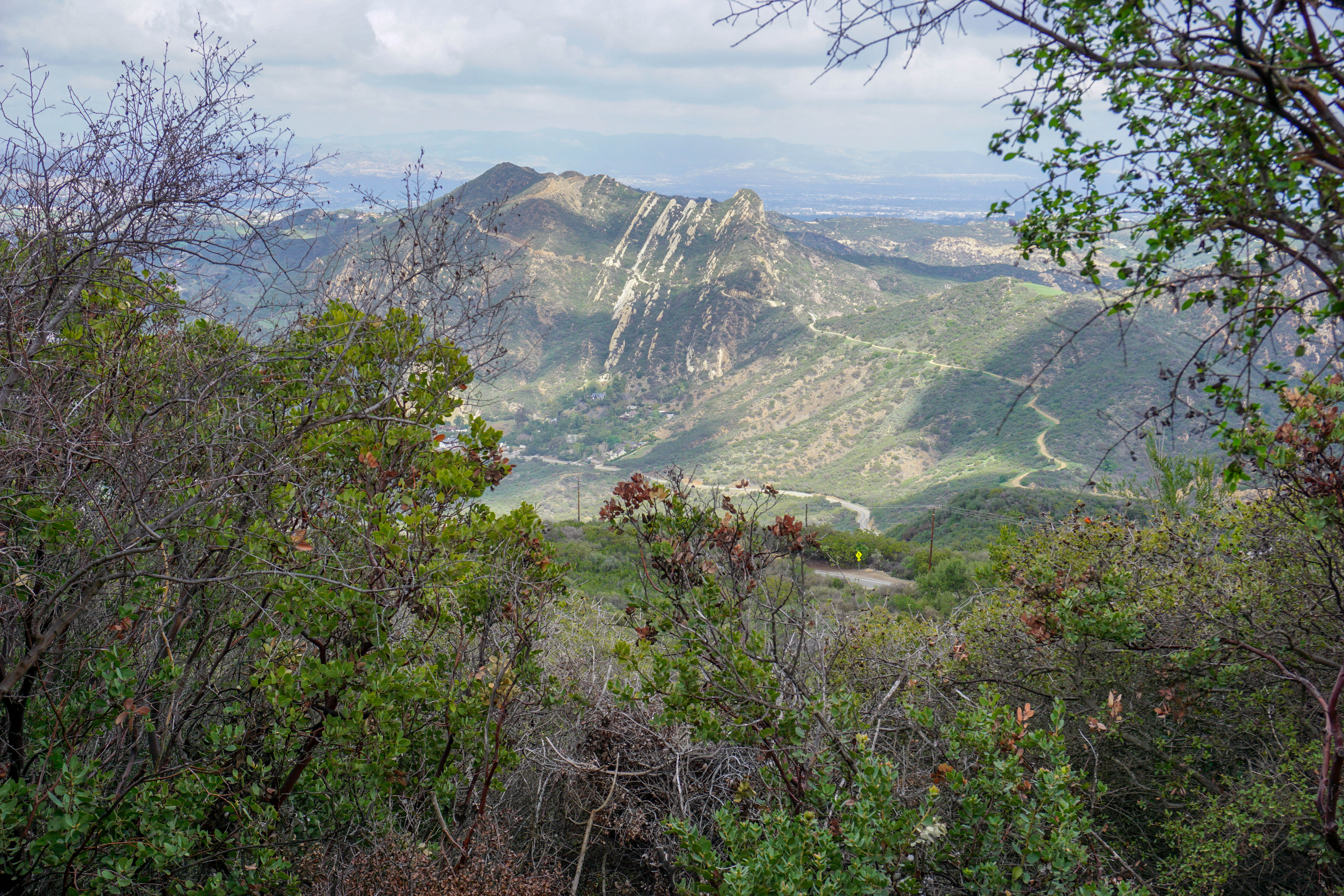
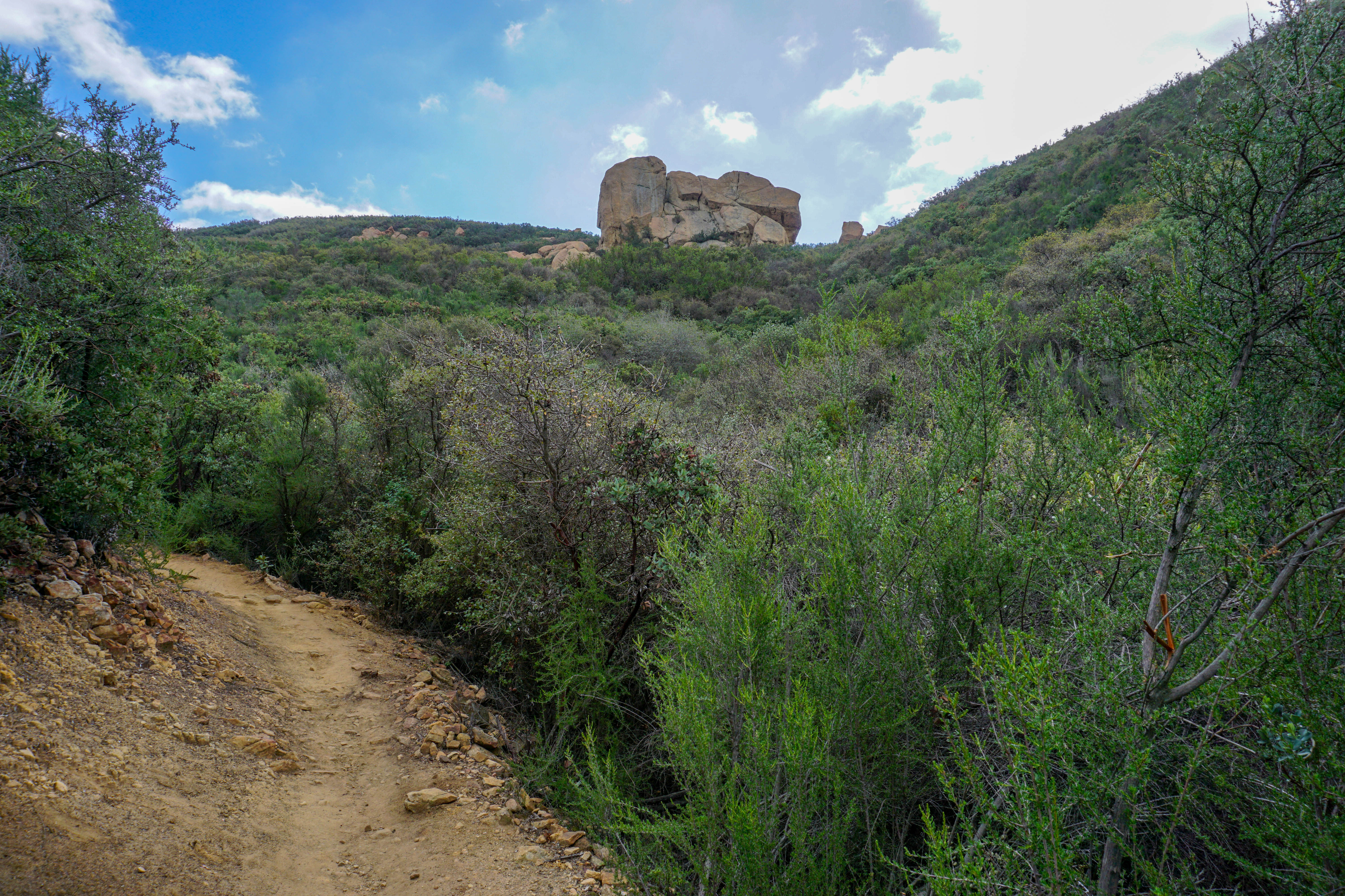
Once you are getting close you will see saddle rock. This is also a popular rock climb as it offers several hundred foot faces.
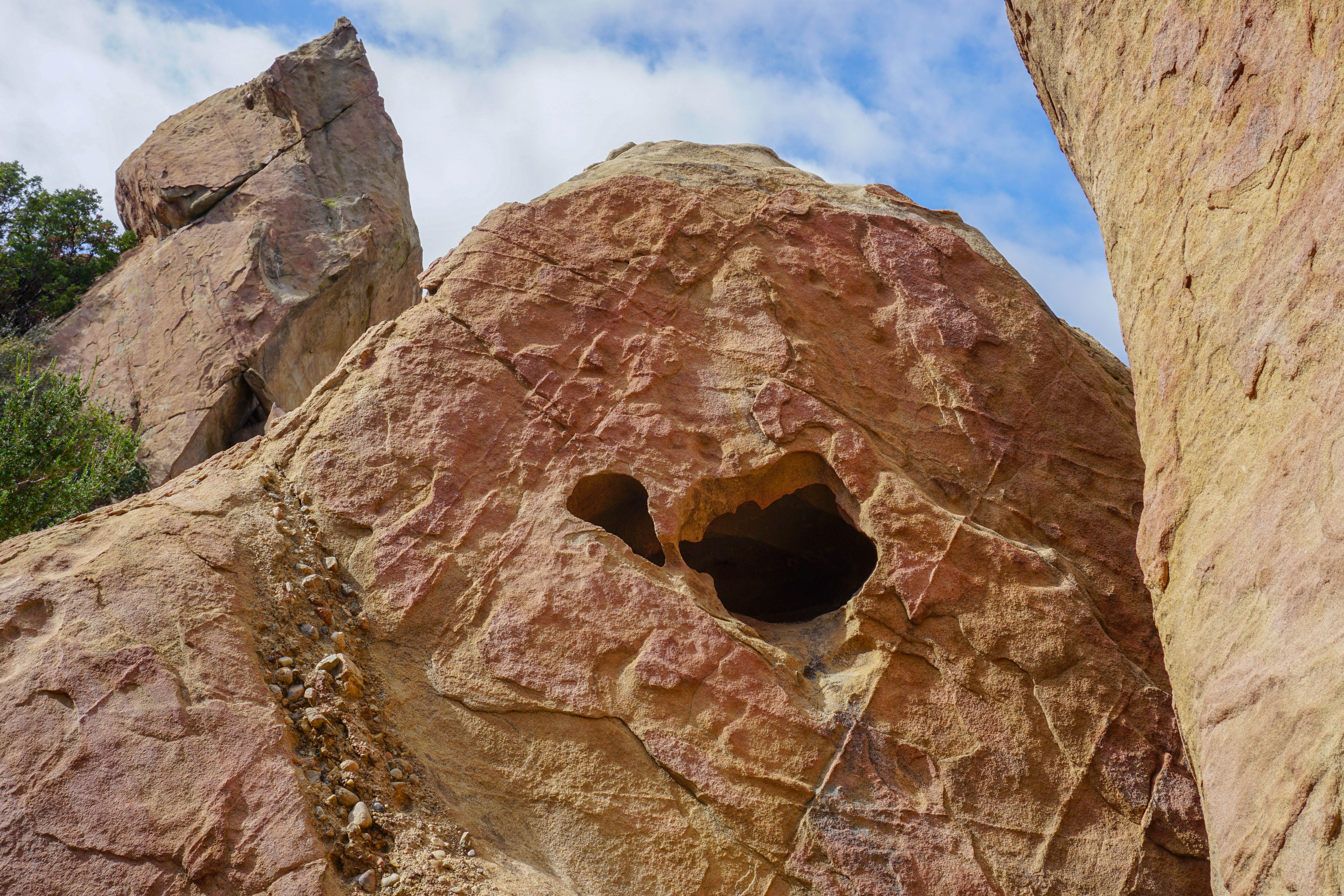
After you get to saddle rock area you will see lots of small caves as you make your way toward the summit. If you got kids with you they will love this part.
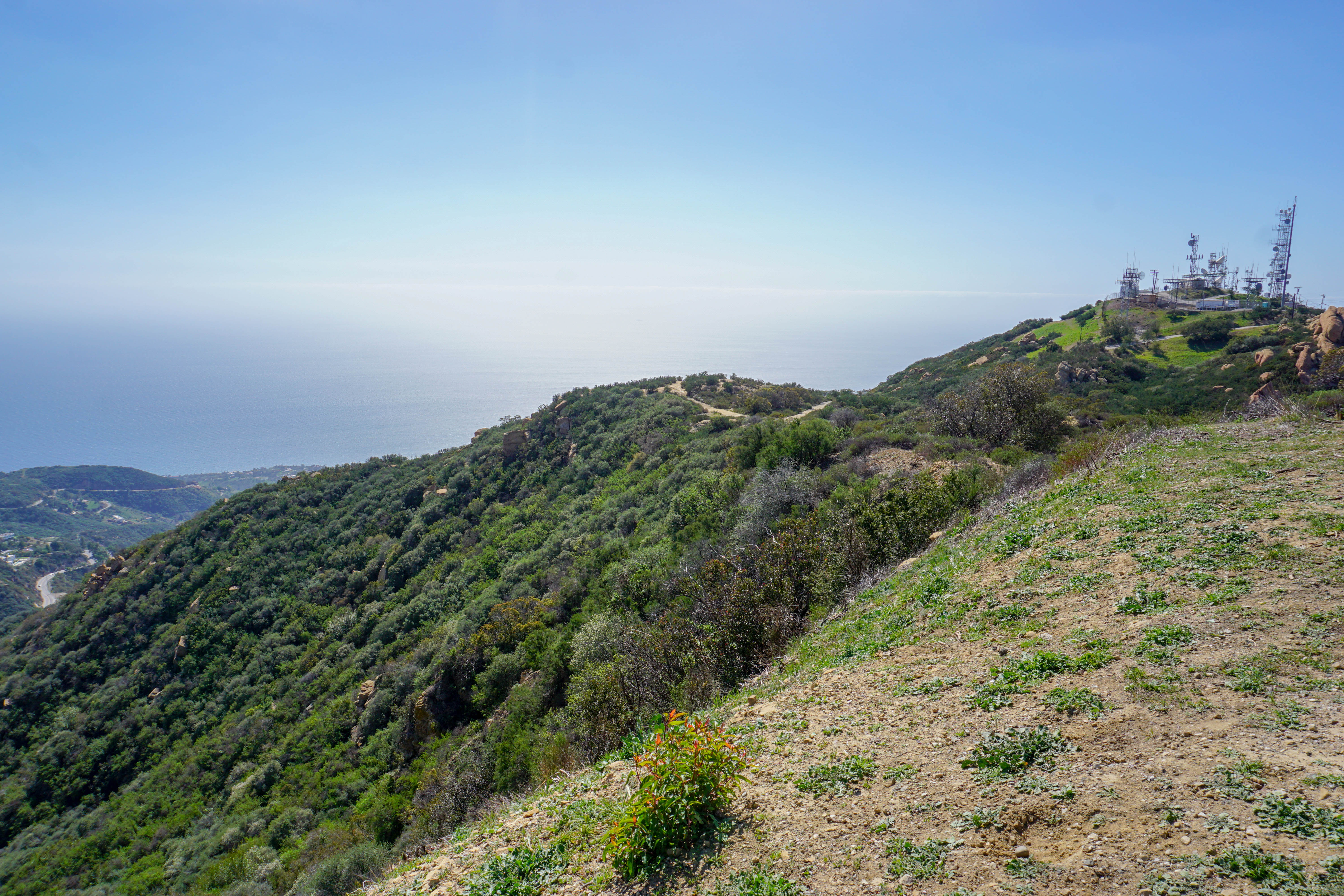
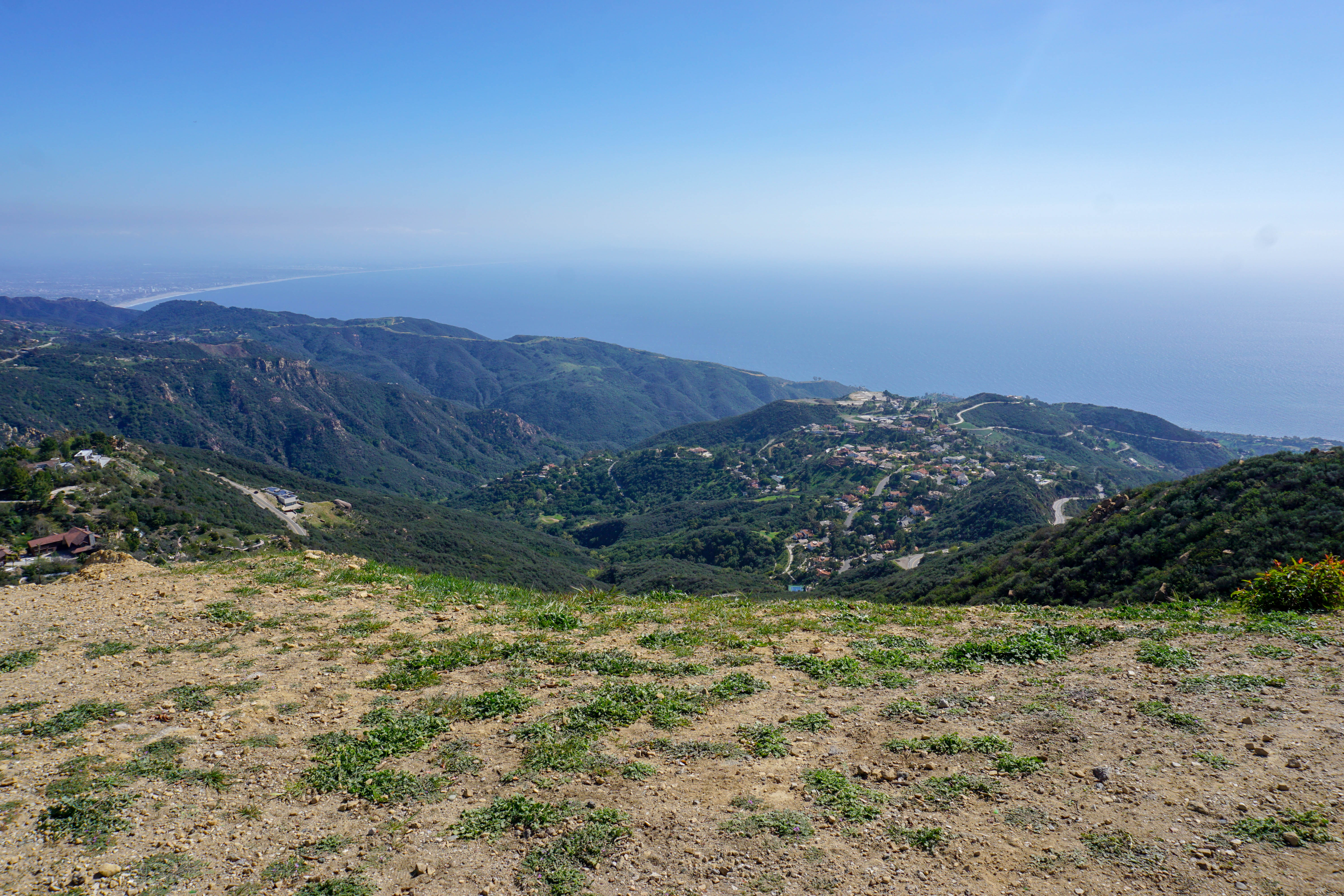
Once you reach the ridge line continue to your right toward the ocean and the weather station. Take a left at the fork to the weather station and this will take you up to saddle peak.
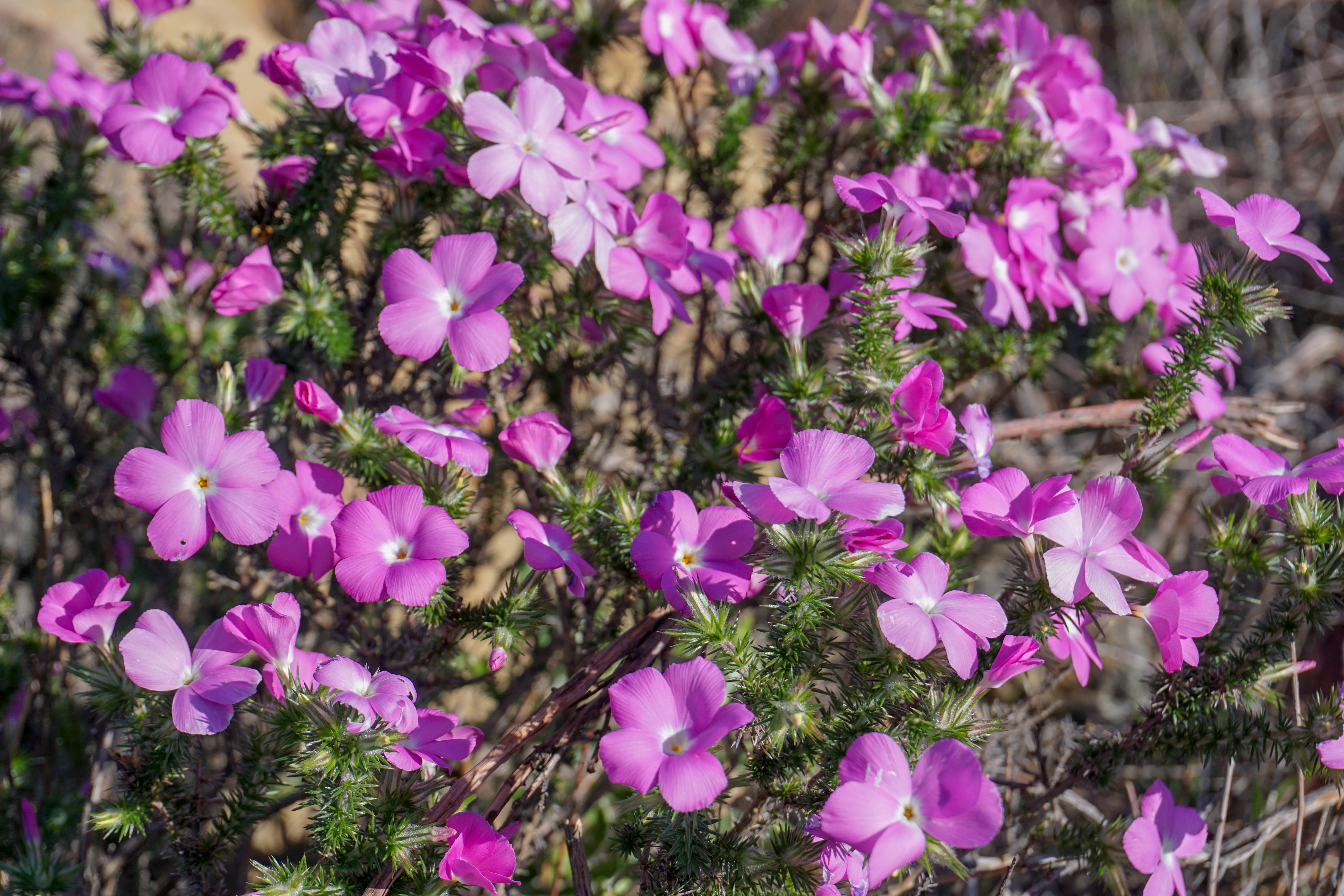
In spring there are beautiful wildflowers such as purple mat, pictured below.
Enjoy the amazing views, hopefully you brought a snack and something to enjoy. When you are ready follow the same path back to your car.
1
2
3
4
Activity: Hiking
Duration: 2 hours
Difficulty: Moderate
Bring: Hiking shoes, hat, water and snacks